"I haven't been everywhere, but it's on my list" ~ Susan Sontag

Wednesday, October 22, 2014

Mt. Jefferson {Whitewater Trailhead to Jefferson Park}

Well, my hikes don't always turn out the way I'd like. But at least my body will thank me for them later.  This Saturday of hiking was not ideal. First, there was a mix up in communication of when this hike was happening, so the friend that was planning on going with me ended up bailing. However, I was determined to hike regardless, and I really wanted to do this hike. So I trekked out toward Detroit on my own. At the same time, I did let at least two people know where I was going and what time they should start to be concerned if I had not contacted them.

The other hangup I ran into was the weather. It had just rained, so the fog and clouds were still low. This meant that the "stunning" sights of Mt. Jefferson were all but something to picture in my head. And then, I didn't make it all the way to Jefferson Park because I did not feel like crossing a freezing cold creek.

I am sure this hike would be WONDERFUL on a nice day. However, this day was not a nice day. I was sorely disappointed.  The terrain was pretty rocky so it was tough on my ankles and knees. And all these things would have been super worth it, except I didn't get much of a view. Oh well!

I still recommend this hike! Just make sure its going to be a nice day, and be prepared to cross a creek if you want to get all the way to Jefferson Park! I also recommend bringing an extra sweater, being this high up on the mountain, it gets pretty cold!


  • Date of hike: October 11th, 2014
  • Distance: 8 Miles to the creek and back  (11 miles round trip to Jefferson Park)
  • Elevation gain: 1800 feet (that is all the way to Jefferson Park)
  • Difficulty: Moderate
  • Miles thus far: 188/200 miles this year


 The sun finally came out for a little while at the end of my hike, but not enough to see much.

 My supposed amazing view of Mt. Jefferson
 Loving the fall colors


 The creek I ended at, I figured it looked too cold to cross that day.


Needless to say I wasn't jazzed about the trip, but at least know it was good for my body!

Friday, October 10, 2014

Wahkeena Falls to Multnomah Falls Loop

Finally, after a crazy September of school and trips out of town, I finally was able to hike! I was up in Portland for a weekend class, so on Sunday I headed out to the Columbia River Gorge to do one of the most popular hikes in the area: Wahkeena Falls to Multnomah Falls Loop.  I was a little fearful that the trail would be super crowded, but honestly I didn't run across many people until I got very close to Multnomah Falls. 

I highly suggest going from Wahkeena falls rather than starting at Multnomah for a couple of reasons. First, it is much easier to go through the tourist crowd by Multnomah falls while you go downhill rather than uphill. Second, when you finish, you can enjoy a treat from the lodge and your car is right there ready to go!

Along this trail, you will come across great views of the Columbia River Gorge and a plethora of waterfalls. I thoroughly enjoyed the hike. I can remember coming up this trail at one point in high school with a friends youth group. We had to take several breaks on the trek up. This time, I did not need a break, although there are a ton of switchbacks.  Each time I came across a switchback I convinced myself I could make it to the next one. I kept doing that until I reached the top.

The other heart warming part of this hike was just the hiking community. I came across a cute older couple hiking a few times and even was able to snap a photo of the both of them for their own memories.  At the top, you can detour about .1 miles toward Angel's Rest to the Wahkeena Springs, a sweet spot for a nice picnic lunch! I walked up there to see what it was like and met a couple of hilarious men.  They were old college buddies from New England and they were a total hoot. They even told me here at this spring, toward to top of the rushing water, I could refill my water! I hung out with them for five or ten minutes and then went along my way and continually ran into them here and there until the end of our hikes.

  • Date of hike: October 5th, 2014
  • Distance: 5 Miles
  • Elevation gain: 1600 feet
  • Difficulty: Moderate
  • Miles thus far: 180/200 miles this year


As I went to hike the Wahkeena trail, it was under construction. So I walked up the road about a quarter of a mile to where the trail opened up again.


Wahkeena stream

In front of Wahkeena Falls 

Wahkeena Falls

At the top of the first climb, you'll crest a ridge. Follow the pavement out to the point, called Lemmon's Viewpoint. A plaque here commemorates a firefighter who gave his life fighting forest fires near here. The views from the point are really good up and down the river.

Above Ecola Falls

Weisendanger Falls

Cascades of water eventually pouring into Multnomah Falls
Weisendanger Falls
Beautiful fall day along the trail
Deck above Multnomah Falls
Above Multnomah Falls
Multnomah Falls, a 611-foot-tall roaring, awe-inspiring cascade of icy water, lets you experience the power and beauty of nature up close and with ease.  According to Native American lore, Multnomah Falls was created to win the heart of a young princess who wanted a hidden place to bathe. 
At multnomah falls!
Multnomah Falls is the 4th tallest waterfall in the world!
Great view of the Columbia River Gorge
The crowds were sure out!

Monday, September 15, 2014

Eastern Oregon {Hat Rock}

I tell you, finding a hike in Eastern Oregon near Pendleton was quite difficult! I am sure there are plenty of places to hike, but none of them are really published! However, I did find Hat Rock State Park and headed out there on Saturday morning since we didn't have rodeo tickets that day.  From what I read it seemed that it was going to be a little walk along the river, but I was pleasantly surprised to see some other trails that were not shown on the map! I included a map of a rough estimation of where I hiked.  

I began my hike at Warehouse Beach. Walking down about a mile, along a very sandy path, one of the rock formations comes into clearer view. At the time I thought this rock formation was Hat Rock, hence Hat Rock State Park. However, looking at the map now, I see that it was actually Boat Rock!  I noticed a few less traveled trails veering off to the right and decided to venture that way.  I climbed up to a great view of Boat Rock and the other way down the Columbia River coastline.  Continuing along I came to the edges before they dropped down to the river and just kept walking along. The sun was beating down on me, but because of the wind gusts from the river, I was perfectly content temperature-wise. (But glad I wore sunscreen!) While walking along, I noticed a rough path that climbed up to the top of what I thought was Hat Rock, aka. Boat Rock, and decided that I could climb to the top! I journeyed back that way and, after a little trailblazing, climbed up and had a great view of the Columbia river, Hat Rock (the real one!) and pretty much miles and miles of farmland and fields.

It was a relatively short and easy hike, but enjoyable! I would love to find some other hikes in the area, maybe up near Cabbage hill pass and in the Blue Mountains!

  • Date of hike: September 13th, 2014
  • Distance: 3ish Miles
  • Elevation gain: no idea
  • Difficulty: Easy
  • Miles thus far: 175/200 miles this year


A rough outline of where I went once I hiked into the park area (off the map a little on the right, the trail goes to Warehouse Beach, which is where I started)

Beginning point


A gorgeous view of the Columbia River

That is Boat rock behind me! (not hat rock! haha)


Climbing back down Boat Rock
The REAL Hat rock!
Parking at Warehouse Beach
Warehouse Beach
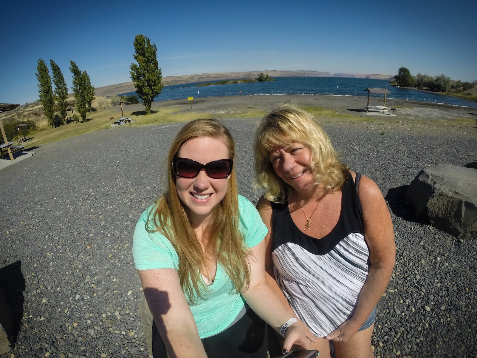
While I hiked, my mom took some relaxing "mommy time" by the beach!